China, Qing period, early 20th century; hand-colored woodblock print; 43 5/16 x 24 7/8 in.; Courtesy of the Division of Anthropology, American Museum of Natural History, ASIA/0578.


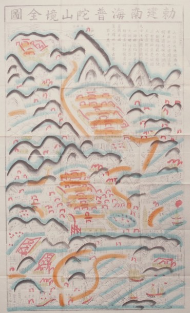
17. The Complete Map of the Imperially Established South Sea Mount Putuo Area
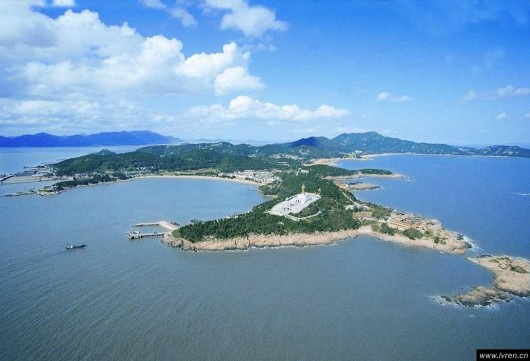
Aerial view of Mount Putuo Island
Photo: chinablog.cc.
This aerial photograph shows Mount Putuo Island, one of the Four Sacred Mountains in Chinese Buddhism. This small landmass in the South China Sea is Guanyin’s special domain.