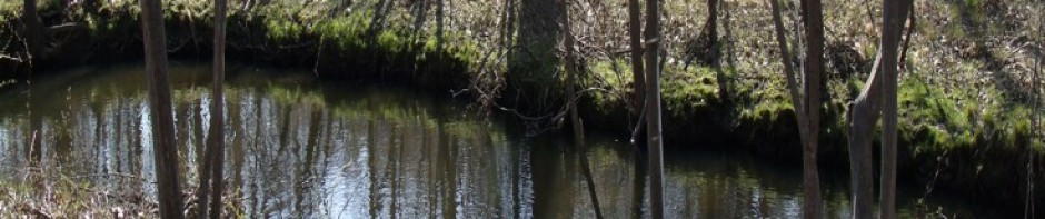
Since 2006, students and faculty from Chemistry, Biology, Earth Science and Geography, and Urban Studies conducted water quality monitoring on the Casperkill Creek, which runs from Peach Hill Park through the Poughkeepsie suburbs and Vassar campus to the Hudson River, We have been assessing the amount of road salt in the stream; dissolved oxygen, nutrient loading, bacteria, and heavy metal levels. Funding for equipment, reagents, and student summer stipends has come from the URSI program, ERI funds, a New York Water Resources Institute grant, and a Major Research Instrumentation grant from the National Science Foundation.
This project has expanded to cover five different headwater streams that drain to the Hudson River. We have used data from this work to explore the impacts of urbanization on nutrients and road salt in the stream.
Current projects:
- Annual Variations in Salt Export in the Casperkill
Cassandre Stirpe (ERI Collins Fellow)
Road-salt is applied each winter to ensure the safety of drivers and pedestrians, but the environmental consequence is that the road-salt accumulates in the watershed and pollutes local streams. This study examined salt concentrations and export in the Casperkill, and found that 89% of salt export occurs during baseflow, with only 11% occurring during winter salting seasons.
Read more
Publications
Influence of open space on water quality in an urban stream. Physical Geography 2010.
The Suburban stream syndrome: Evaluating land use and stream impairment in the suburbs. Physical Geography 2009.
Accumulation of deicing salts in soils in an urban environment. Urban Ecosystems 2008.
Landcover analysis: How sensitive is analysis to error in ISC data?
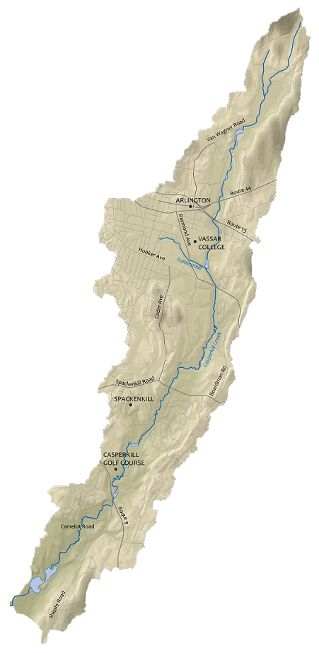
Casperkill Watershed
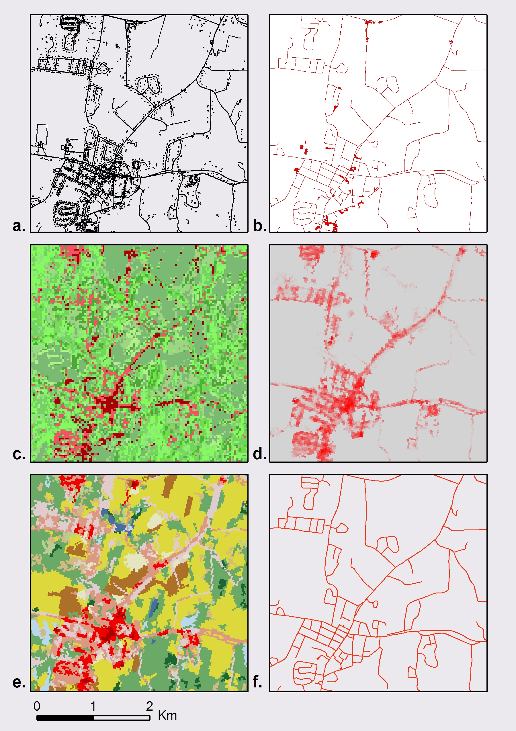
Landcover layers used in analysis