
Don the Fedora, holster your pistol, and coil your whip – it’s time for an archaeological expedition… or so I thought. Turns out, fieldwork doesn’t necessarily include dodging booby traps, stealing precious golden idols, or scurrying away from massive boulders.
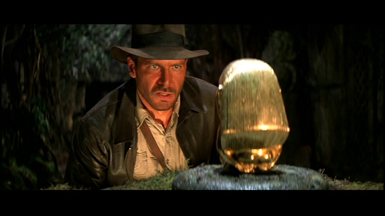
Indy didn’t teach us much about real archaeology, did he?
To start off, there is a ton of preparation work that needed to be completed. Maps and charts had to be at the ready, plotting out the different paths and courses that the team had to take for the initial survey. Along with that, each team carried flags (to mark out artifacts), notebooks, a compass, measuring tape, a GPS device, a dSLR camera, a video recorder, walkie-talkies, and a rangefinder. Each member of the team was allotted a specific role, be it a navigator, recorder, photographer, or videographer.
I was placed in the team which did not have the aid of a mobile mapper, but only an old-fashioned map and compass (which was fine, because Indiana Jones managed alright without technology). Immediately, we had to get our bearings and figure out which direction we had to proceed. As we started to trek through the woods, we took pictures and studied the various artifacts we stumbled upon. Unlike the bones, treasure maps, and precious gems that I had pictured we would find, aerosol containers, beer cans, and old Coke bottles were strewn across the floor.
Surprisingly enough, a simple preliminary inspection of the artifacts revealed a lot more than I had expected. Just by looking at the design of the samples, it was possible to determine their age and purpose. For example, we came across an aerosol can which had been rusted and broken, with the label not visible anymore. It had a jagged plastic ridge that jutted out near the nozzle, which we inferred would be used for upholstery.
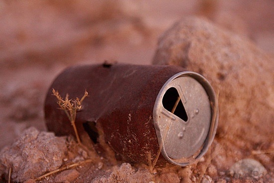
A rusted can gives so much information once you look deeper
As we continued trekking along the winding hills, our team found manmade stone walls. Using the rangefinder and measuring tape, we calculated the length and height of it them, along with marking out any unusual rocks or discolorations along the walls. After taking numerous pictures and videos, we eventually moved on.
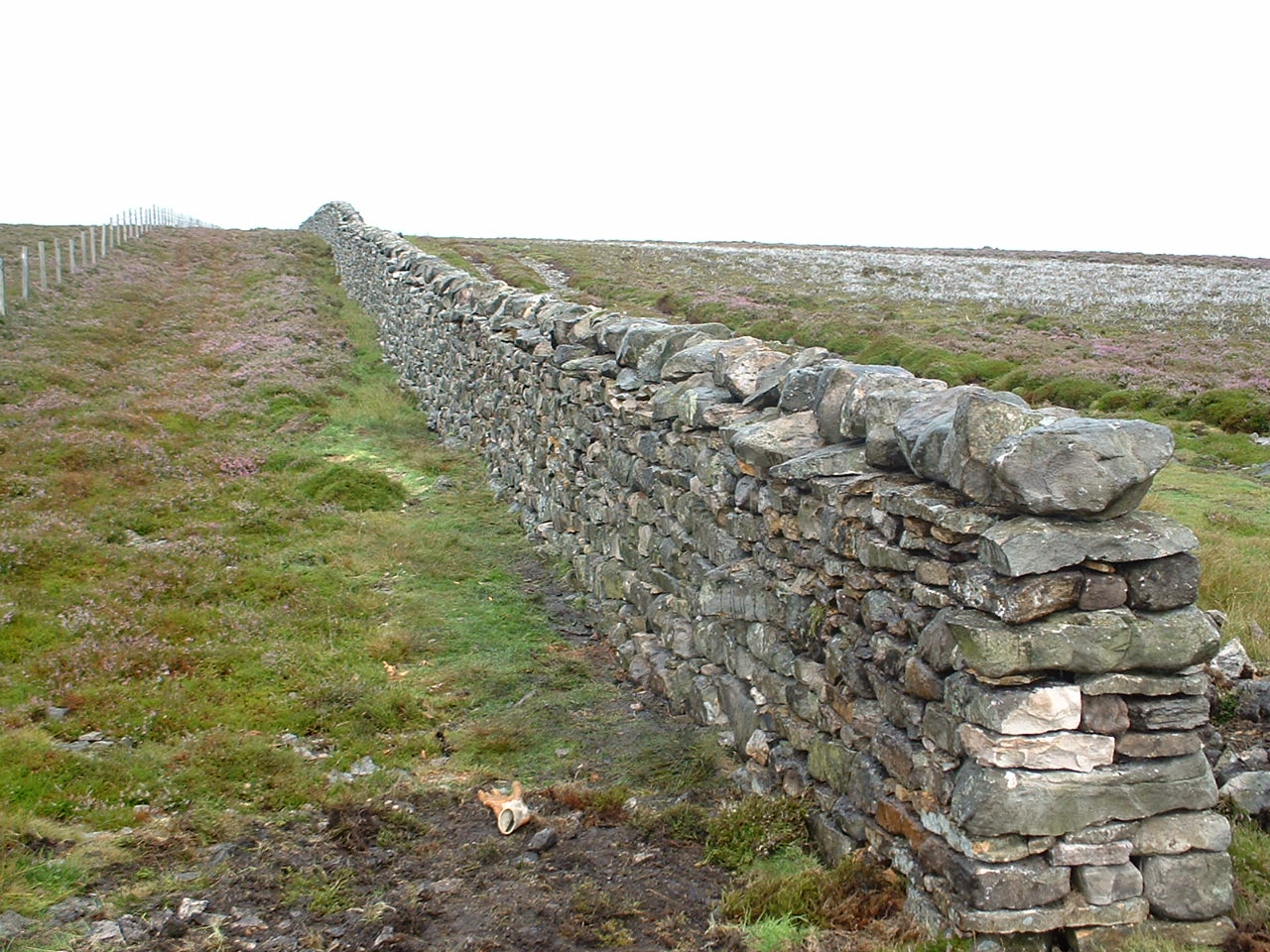
A dry stone wall similar to the ones we found
During our expedition, we lost touch with one of the teams. We decided to play it safe and launch a “search and rescue” style mission to seek them out. Even though all of us were confident that the other team was safe and it was just the topography of the hills that was interfering with communications, I was secretly hoping that they had been held captive by evil Nazis and I would have to use my whip-lashing abilities to rescue them. Fortunately, they were perfectly fine and we regrouped for lunch (unbeknownst to us, we had been eating for quite a while under a live wasp nest).
The drive back to campus provided a perfect opportunity to reflect on the day. Archaeology has been a passion of mine since I was six years old, and going on an expedition has been a dream of mine. I would never have expected my first experience to be something like this, but I can say with full confidence that it was a wonderful and eye-opening one. I found out that archaeology doesn’t have to do with bones, mummies, and coffins, but instead it has to do with what we can learn from the items that our predecessors have left behind. Something so small as a beer can to something as significant as a wall can give the same amount of information, but each tell a completely different story.
Sources:
How Stuff Works -http://science.howstuffworks.com/environmental/earth/geology/archaeology2.htm
Image 1 – http://www.blakesnyder.com/wp-content/uploads/2012/09/raiders-of-the-lost-ark-imax.jpeg
Image 2 – http://images.travelpod.com/tw_slides/ta00/9c9/dea/rusted-can-buraidah.jpg
Image 3 – http://www.airedaleenterprise.org.uk/wp-content/uploads/2013/06/dry-stone-wall.jpg
Mapping doesn’t necessarily come to mind when the average person thinks about archaeology – after all, Indy never made a map before collecting an artifact! – but, as you explain, it has become a central process in archaeological field work. In order to study material objects in the most thorough way possible, artifacts must be painstakingly mapped to note their location, to know their general location in space but also to understand them in relation to the objects around them. Mapping, however, is a critical archaeological tool in its own right; for example, two researchers, Anne Kelly Knowles and Dan Miller, and a cartographer, Alex Tait, created new maps of the battlefield at Gettysburg using GIS (Global Information Systems) units, the same method your field team used. They overlaid detailed, present-day GPS data with historical maps troop movements, which were detailed on a logistics level but were not always detailed or accurate in terms of topography. By combining historical data and the topographic information from their GIS units, they were able to plot out where each army stood at the beginning of the battle and able to gain new insight into this landmark Union victory. According to their findings, Confederate General Robert E. Lee’s view of his enemy would have impeded by the terrain; he was often unable to see portions of the Union forces and unaware of how advantageous their position was. These new insights into Lee’s decision-making process bring a new dimension to the historical narrative of this bloody battle, and are testament to mapping’s importance and power in historical study. To read more about this project, click here: http://www.smithsonianmag.com/history-archaeology/A-Cutting-Edge-Second-Look-at-the-Battle-of-Gettysburg.html