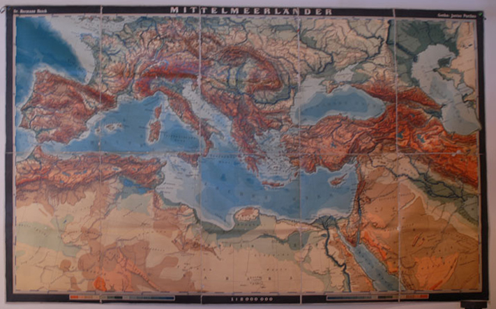
“MITTELMEERLANDER” Wall map by Dr. Hermann Haack, published by Gotha: Justus Perthes. 10 sections of paper mounted on linen, unfolded, 64″ X 104″, scale of 1:2,000,000. C.1930
Geography Map Collection
The Earth Science and Geography Department has an extensive map collection, encompassing physical and cultural geography, from the mid 1800’s to modern day. See the collection of wall maps here:
http://luna.vassar.edu/luna/servlet/Vassarvc1~14~14

