
Over the summer, I worked with Professor Jimi on estimating water salinity in the floodplains of Bangladesh and calculating its accuracy compared to actual groundwater salinity. High levels of water salinity have been associated with abnormal child health outcomes and poor agricultural productivity, so water salinity data collection is an increasingly important subject with the rise of climate change. Due to the costs of actual groundwater data collection, many studies have been turning to satellite data and other such modeling approaches. My project aims to test whether this growing alternative could act as a good proxy or not.
The first few weeks were spent on extracting and navigating the ocean salinity dataset taken from Copernicus Marine Service. During which I experimented with different parameters and how to load it into a Python script. I also spent a significant amount of time on literature review to get me acquainted with the work already done in this field.
The next few weeks saw the completion of the Python script with parameters based on existing studies. I then ran the ESPA dataset through the script to produce the estimated salinity for every household listed in that dataset. Afterwards, I conducted various statistical tests and made conclusions based on them. I then fine-tuned the parameters and started testing whether administrative levels or distances would impact the results.
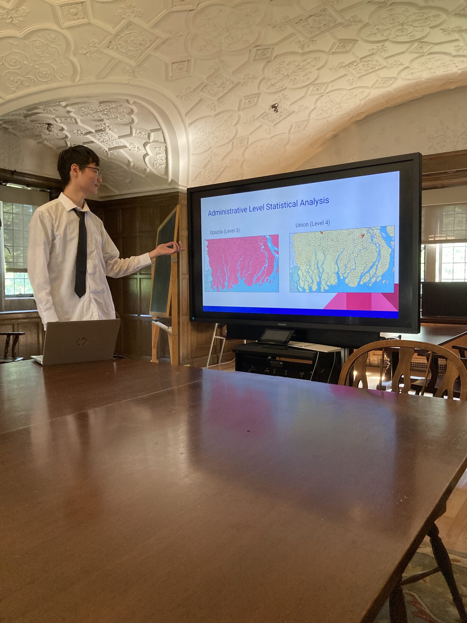
Overall, our results show the folly in trusting something at face value. At the same time, we recognized that it can still be a useful tool if some of its downfalls can be rectified. Alongside our conclusions, we also made a detailed list of what follow-up steps need to be taken and some of our ideas for how to improve the results.