
There are currently more than 40,000 detected objects in space, and 5,000 of those objects are satellites. Archaeologists rely on satellites, which help to communicate the positions of sites with historical or cultural relevance. This is especially clear in the case of Sarah Parcak, space archeologist and Egyptologist, who defines space archaeology as using “any form of air or space-based data” to look for ancient features or sites (Marchant 2019).
Through the use of satellite imagery, Parcak and her team have discovered “more than 3,000 ancient settlements, more than a dozen pyramids and over a thousand lost tombs” in Egypt (Tucker 2016). One of these discoveries was the ancient city of Tanis, the former capital of Egypt. After centuries, Tanis was eventually lost under a large build up of silt and mostly forgotten. This did not stop Parcak from trying to find it, however. Because the city is still mostly buried under the desert (Figure 1), it would take hundreds of years to excavate the site using conventional practices. Instead, Parcak combined two satellite images to unveil (Figure 2) the “layout of the largest, most continuously occupied capital city in ancient Egypt” with visible suburbs, streets, and houses (Marchant 2019).
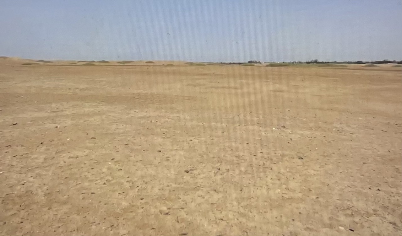
Figure 1: Tanis, Egypt from ground level. Photograph by Sarah Parcak.

Figure 2: Satellite image of the archaeological site in Tanis, Egypt. Photograph by DigitalGlobe/Maxar via Getty Images.
Space archaeology and satellite imagery have not only helped uncover different ancient cities like Tanis, they have helped deepen our understanding of things that have already been revealed and studied in the archaeological record. Archaeologists, for example, have argued whether ancient Egypt’s Old Kingdom ended largely for social, political, and economic reasons or because of a severe drought. Parcak used satellite images of ground survey work and the Nile Delta to show a decrease in the number of the Old Kingdom’s settlements from that time period to the following one. Smaller settlements were more abandoned than larger settlements, which were generally maintained. Parcak concluded that the images provided more evidence of there having been a “a serious drought that lasted for a lengthy period of time and played a more major role in the decline than previously assumed” (Corbyn 2019). Therefore, satellites also help to advance existing perceptions of archaeological findings.
According to Parcak, space archaeology allows people to see “a world without borders, full of possibility, past, present and future” (Marchant 2019). It allows people to analyze and understand features that relate to the history of humanity that are not visible from the ground. With satellite imagery, archaeologists are able to uncover truths about the past that have never been considered or fully understood, shining a light on the ever changing nature of history and our understanding of it.
Further Reading:
https://www.rotary.org/en/sarah-parcak-and-secrets-of-satellites
https://www.nytimes.com/2019/07/08/science/sarah-parcak-space-archaeology.html
References:
Corbyn, Zoe. July 27, 2019. “Sarah Parcak: ‘Imagine being able to zoom in from space to see a pottery shard!’” The Guardian. https://www.theguardian.com/science/2019/jul/27/sarah-parcak-interview-arcaeology-from-space-satellite-imaging-globalxplorer-project-ancient-egypt.
Marchant, Jo. June 26, 2019. “Adventures of a space archaeologist.” Nature. https://www.nature.com/articles/d41586-019-01972-3.
Tucker, Abigail. December 2016. “Space Archaeologist Sarah Parcak Uses Satellites to Uncover Ancient Egyptian Ruins.” Smithsonian Magazine. https://www.smithsonianmag.com/innovation/space-archaeologist-sarah-parcak-winner-smithsonians-history-ingenuity-award-180961120/.
While satellite imagery can be used to find archaeological sites, are there any downsides to using this technology?