About a 45 minute drive south of Poughkeepsie, Dutchess Country’s city of Beacon, New York has a beautiful backdrop: Beacon Mountain, known locally as Mount Beacon. Mount Beacon is the highest peak of the Hudson Highlands mountain range, overlooking the Hudson River and the Hudson Valley. It has northern and southern summits at an elevation of 1,531 feet and 1,610 feet above sea level, respectively (x).
One crisp Sunday morning in mid-September, some friends and I piled into my car and arrived at our destination around 11AM. The parking lot was already pretty full, demonstrating the popularity of this destination, but luckily we found free spots. Make sure you get there relatively early if you don’t want to be parked along the road.
The hike up North Beacon begins with a long metal staircase that really gets your lactic acid flowing before you even make it to the real trail. The first stretch of the hike is a bit steep and you’ll be doing some clambering over rocks and boulders, but it is totally manageable for most people. We saw a wide range of people handle it just fine, from college kids and seasoned hikers to small children and older folk. This part of the trail ascends along the Mount Beacon Incline Railway, built in 1902, which was the first electrified incline and at one point the world’s steepest incline. It was one of the Hudson Valley’s prime tourist attractions, ridden by over 3.5 million visitors during its 75 year span of operation, until it was destroyed by a fire in 1983. Mount Beacon Park is maintained in cooperation with the Mount Beacon Incline Railway Restoration Society, which is working to restore it. You can read more about the history of the incline railway in this 2011 New York Times article.
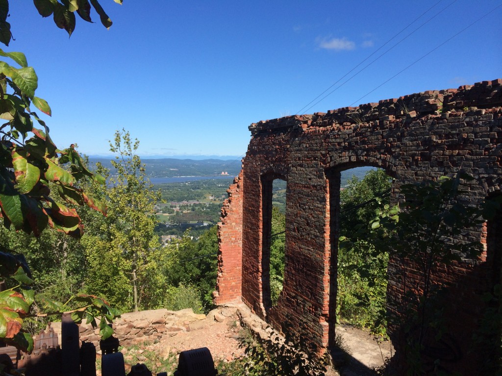
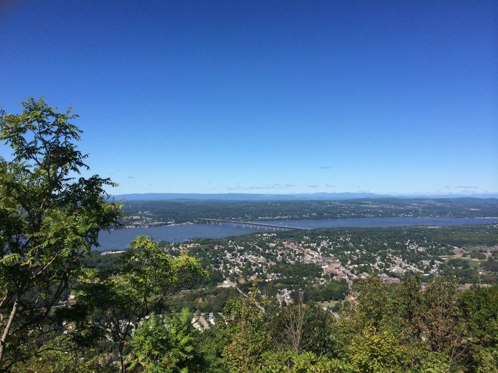
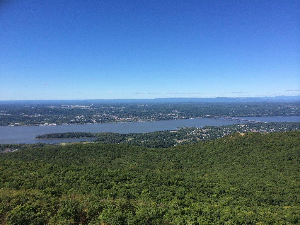
When you reach the first summit, you find the ruins of the incline’s powerhouse and a scenic overlook to the Hudson River and the city below. The mountain and the city were named for the signal fires lit on top of the mountain during the Revolutionary War that served as beacons to warn of British troop movements, and word on the street is that there is a monument at the site of the original signal fire erected by the local chapter of the Daughters of the American Revolution in 1901.
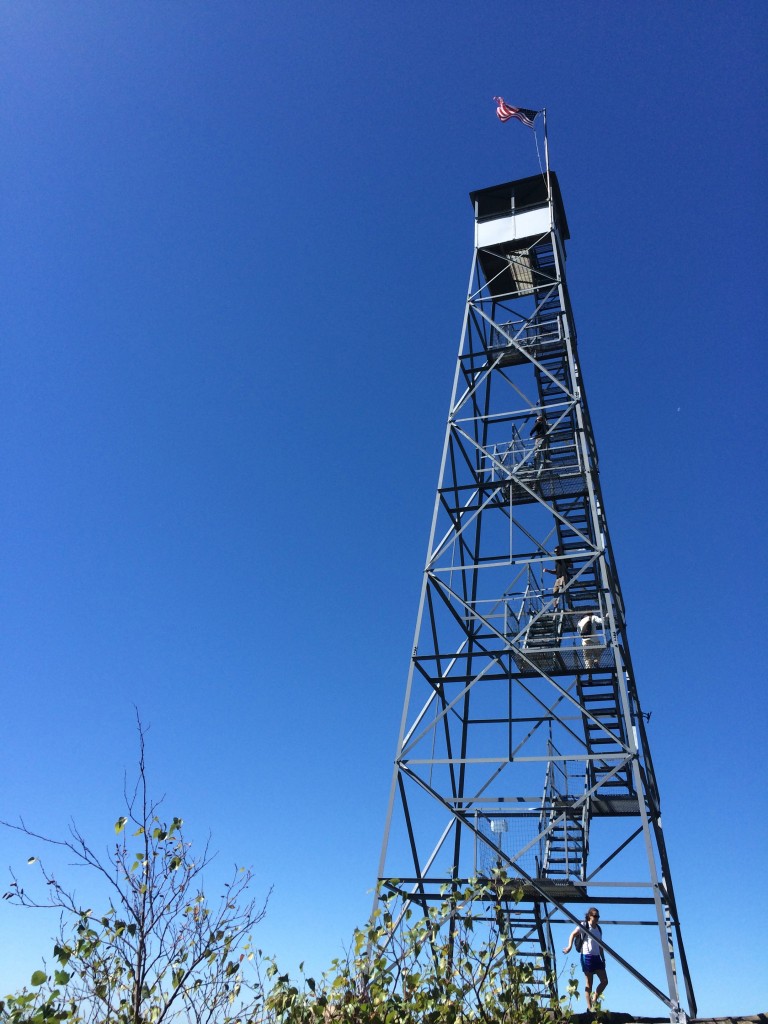
It would be about a 2.4 mile (1.5 hours) round trip journey to the overlook, but our hike was far from over! It was onwards and upwards. The trail gets a bit less steep after this point (well, mostly at least) which was helpful after we took the wrong fork in the trail. But eventually we made it all the way to our destination: Mount Beacon fire tower! This brought it up 4.4 miles (3 hours) round trip.
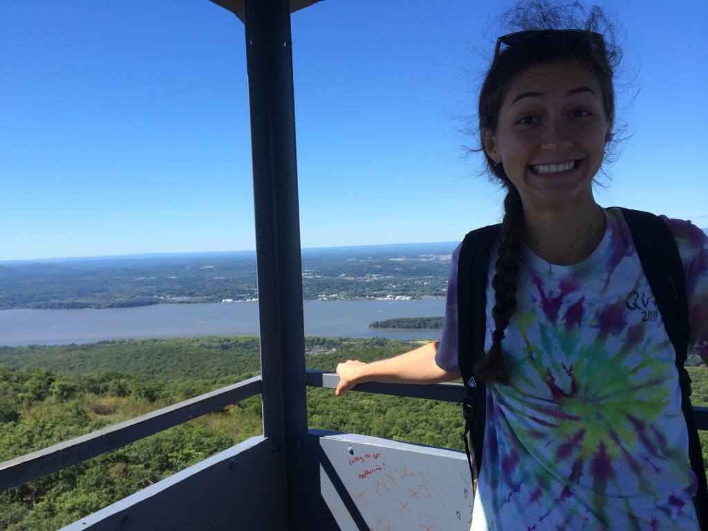
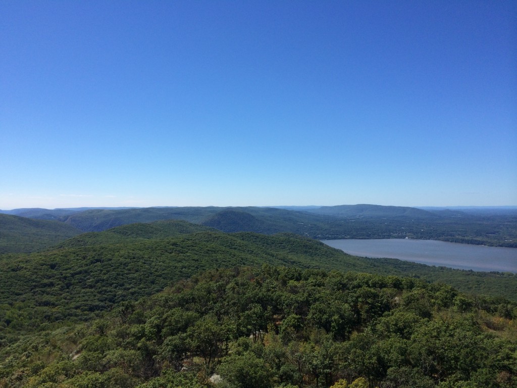
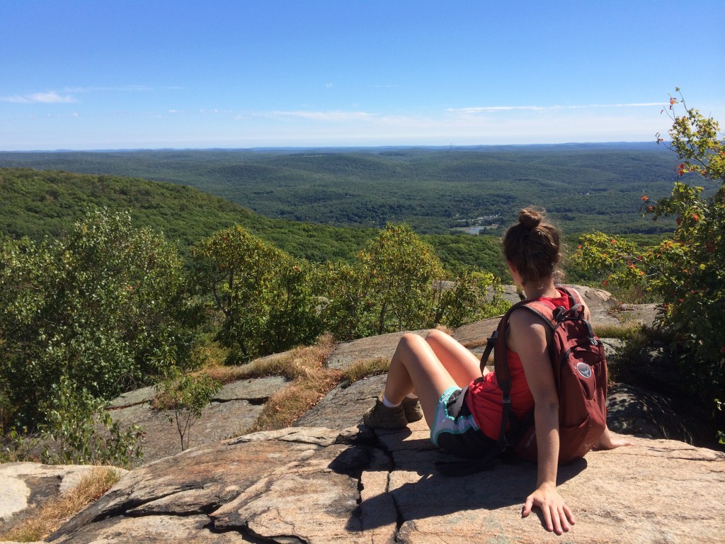
We stopped to eat a snack and take in the breathtaking 360-degree views of the Hudson Valley. When we were there everything was still green, but I am looking forward to going back now that the trees are beginning to change colors. If you happen to be afraid of heights, you can see pretty much the same view without going up the extra 500 feet of the fire tower… but you already hiked all the way there, so you might as well, right? At least that was the philosophy that managed to take me to the top! Apparently this fire tower was renovated in June 2013 to include stairs (very nice and sturdy stairs, in fact!) for which I am eternally grateful.
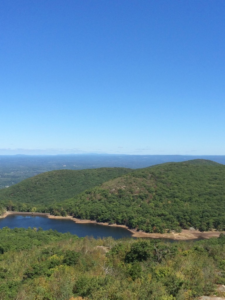
Atop the fire tower, you could basically see everything: the Catskills and the Beacon Reservoir (the city’s main water source) to the northwest, the Newburgh-Beacon Bridge and the Gunks to the west, the Hudson Highlands to the south, and — on a clear day like the one we were lucky enough to be there on — you can even see New York City in the distance. There was no way to capture that on camera, so you’ll just have to take my word for it.
For more information: Scenic Hudson – Mount Beacon.
By Natalie DiCenzo

